
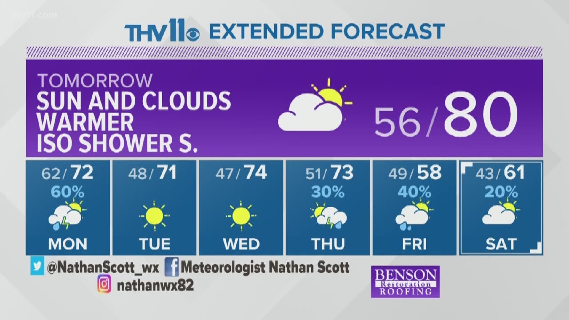
Severe weather is possible tonight while you are sleeping or should be asleep, although many people will likely be tired Monday morning as a line of storms will charge through the state. All of the state is under a low threat of severe weather, but there is a higher risk for W and NW Arkansas.
Intense storms are expected to develop in OK later Sunday evening between 8 p.m. and 12 a.m. These storms will then form into a line of strong to possible severe storms early Monday morning and move from west to east across the state.
The main threats along the line of storms will be damaging wind gusts of 50 to 70 mph, but we could see quick weak spin-up tornadoes embedded with the line and large hail is also possible.
TIMELINE:
The severe weather threat for west AR is from midnight until 3 a.m. Central AR should be on alert as early as 2 a.m. until 8 a.m. So the morning rush on Monday could be impacted with heavy rain, gusty winds and possible severe weather causing power outages. Southeast AR will see the chance of severe weather from 6 a.m until 11 a.m. These times are just estimates and may change according the speed of the storms.
IMPACTS:
Damaging winds could knock trees and limbs and will be capable of some structural damage. Scattered power outages are also possible.
Heavy rain during the morning commute could lead to a slow rush hour, make sure your windshield wipers and tires are in good condition.
Make sure your phone is charged, anything that is outside that can be blown away is secure and have several ways to wake you up when and if tornado warnings are issued.
Stay with THV11 for the latest updates on-air and the THV11 Facebook Page where Live updates will be provided before the storms arrive.